Through the Sands of Time: SIGNAX Exposes an Iraqi Treasure – Part 1

Part 1
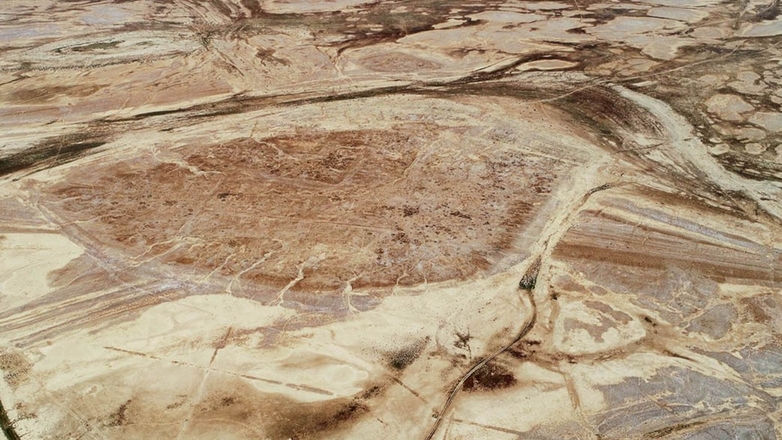
The Iraqi-Russian Multidisciplinary Project, led by the Institute of Oriental Studies and the Institute of Archaeology of the Russian Academy of Sciences, aims to uncover the secrets of an ancient Mesopotamian region of the Eridu plain in Southern Iraq and its important ancient city, Tell Dehaila, spanning more than 4000 years of history. Situated in a remote region with a landscape scarred by looters and subtle features buried beneath the surface, the project demands meticulous planning and cutting-edge technology to succeed. SIGNAX, a leader in geospatial solutions, plays an indispensable role during this phase, collaborating with an international team of experts to preserve the site’s fragile remains and analyze its historical data with exceptional precision, setting a new benchmark for non-invasive archaeological exploration.
Defining the project’s purpose
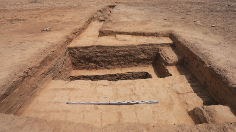
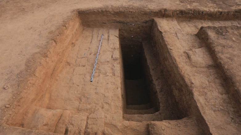
Modern archaeology isn’t that much about digging. Excavation is needed to discover written documents and artefacts, to obtain materials for dating, to clarify archaeological structures and to understand the stratigraphy, the vertical composition of the superposing construction levels. This work is very time-consuming and it cannot be done over large areas. To get meaningful results, archaeologists need to carefully select the right places to be excavated. Non-destructive methods are widely used for that. Also, they allow to document the site in its entirety, something that is never attained by classical earth-moving archaeology. In fact, when a site has been excavated, it always means that only a small part of it became known. The modern non-destructive methods, combined with excavation at the final stage, allow a thorough exploration of the ancient settlement with minimal damage.
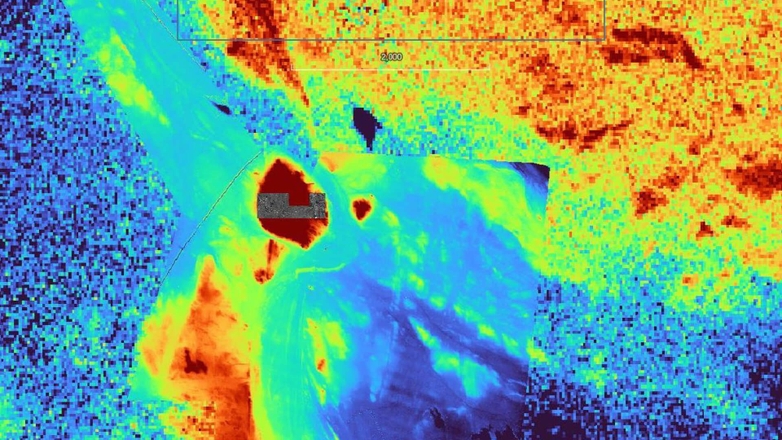
To do this, archaeologists start with freely available satellite pictures, such as declassified CORONA images of the 1960-ies and 1970-ies, but also the more recent digital elevation maps from Shuttle Radar Topography and COPERNICUS project, and other available satellite images. But they are only sufficient for the initial planning and general research purposes over large areas. To investigate an archaeological site, detailed images with good georeferencing are needed, and this is where SIGNAX’s expertise in drone surveying comes in. SIGNAX contributes its specialized capabilities to:
- Mapping and interpreting a site, the specific scope of SIGNAX’s work, supports the broader archaeological goals of understanding the site’s role in Mesopotamian history, refining the coarse satellite data with high-resolution imagery
- Preserving the site’s integrity, non-destructive methods allow to learn a lot without further disturbance to the cultural deposits already damaged by looting and by natural erosion, contributing to the protection of the historical heritage
- Uncovering hidden history, targeting subtle traces of irrigation systems, urban layouts, and defensive structures dating back millennia, offering insights into ancient life that the satellite imagery can only hint at.
This purpose establishes the archaeological mission at Tell Dehaila as a pioneering effort, merging traditional archaeological approaches with cutting-edge geospatial tools to unlock Tell Dehaila’s long-buried story.
International collaboration in planning
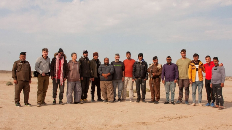
The archaeological project unites a diverse team of specialists from the United Arab Emirates, Russia, Germany, and Iraq, fostering a rich exchange of knowledge and skills. Archaeologists from Novgorod State University and Ludwig-Maximilians-Universität München worked alongside representatives from Iraq’s State Board of Antiquities and Heritage (SBAH), ensuring the project respects cultural and regulatory frameworks. SIGNAX integrates its technical proficiency into this international coalition, enhancing the planning process with:
- Detailed survey area planning, planning four key zones: a 70m-altitude central tell area scanned at high resolution, and three 160m-altitude regions (North-Western Canal, Protective Trench, and Irrigation Area), each designed to capture critical site features with a 200-600m marker spacing.
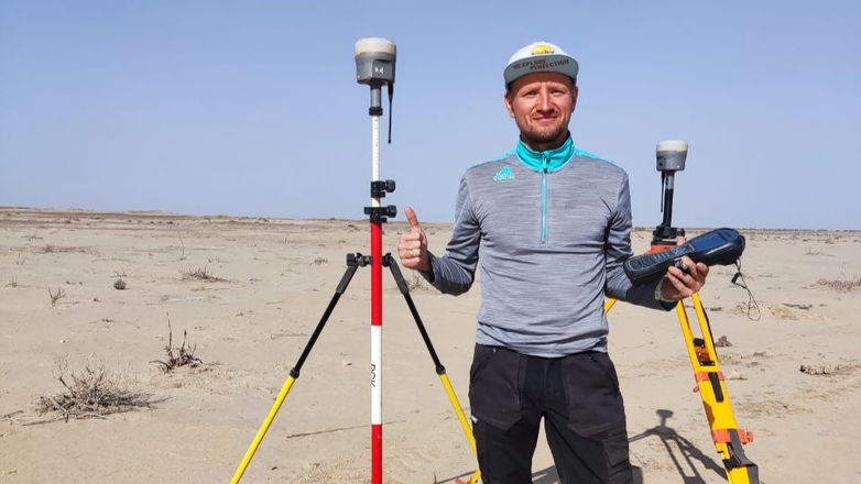
- Support geophysical mapping, preparing a precise 40m x 40m grid with 90 ground control points to help geophysicists align their measurements of the magnetic field with aerial data for a comprehensive subsurface analysis.
This collaborative planning phase, enriched by SIGNAX’s input, lays a robust foundation for the fieldwork ahead, balancing scientific precision with the practical realities of the site’s remote location and environmental constraints.
SIGNAX’s role in preserving and analyzing historical data
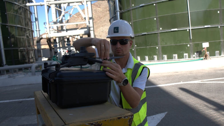
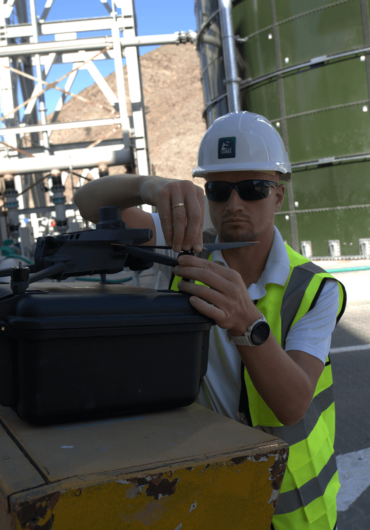
SIGNAX’s drone surveying technology enables the team to capture and preserve historical data despite environmental challenges. The site’s harsh weather conditions — scorching heat with no shade or fresh water sources — would test the team’s endurance, while insects, solifuges (camel spiders), snakes, and wolves pose constant risks during fieldwork. Limited road access, tight flight windows, and unpredictable weather further complicate operations. Using the modern quadcopter drone, equipped with high-resolution imaging sensors and an RTK module, and flight planning software, SIGNAX executes a drone survey operation. SIGNAX ensures:
- Non-invasive data collection, using ground control points across the site;
- Multi-condition analysis, scheduling flights over the central site three times — morning, after rain, and before sunset — to reveal varying light angles and soil moisture levels, enhancing visibility of faint features like ancient canals and buildings.
SIGNAX’s efforts focus on creating detailed maps and models to support the mission’s goals. By capturing data across multiple conditions and preparing it for analysis, SIGNAX provides the team with a clear view of Tell Dehaila’s past, ensuring that the site’s historical narrative remains intact and accessible for future exploration. This work equips the expedition with the tools to interpret the site’s significance without disrupting its fragile remains.
Setting the stage for discovery
The planning phase of the investigations at Tell Dehail, bolstered by SIGNAX’s innovative contributions, establishes a model for modern archaeological exploration. By uniting international expertise and leveraging drone technology, the team aims to overcome the site’s logistical and environmental challenges to pursue a shared vision: understanding a civilization that thrived up to 4000 years ago. This groundwork protects the world heritage and enables discoveries in the upcoming excavation phase, showcasing the power of technology to connect the present with the ancient past.
