Through the Sands of Time: SIGNAX Exposes an Iraqi Treasure – Part 2

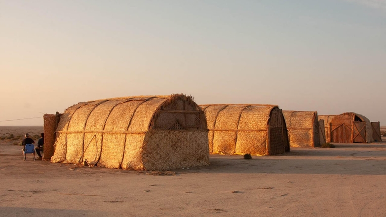
After months of preparation, the archaeological expedition to Tell Dehaila in Southern Iraq completed its fieldwork, turning a desert site into a treasure trove of historical insights. SIGNAX, a leader in geospatial solutions, drove this phase to success, executing drone surveys, processing vast datasets, and unlocking practical applications that reshaped our understanding of this ancient Mesopotamian landscape. Living in reed houses created by local craftsmen on the archaeological site, the global team of experts from the United Arab Emirates, Russia, Germany, and Iraq faced the desert’s harsh realities head-on. SIGNAX’s expertise turned their efforts into a lasting achievement.
Completing the Fieldwork in a Desert Environment
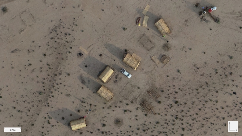
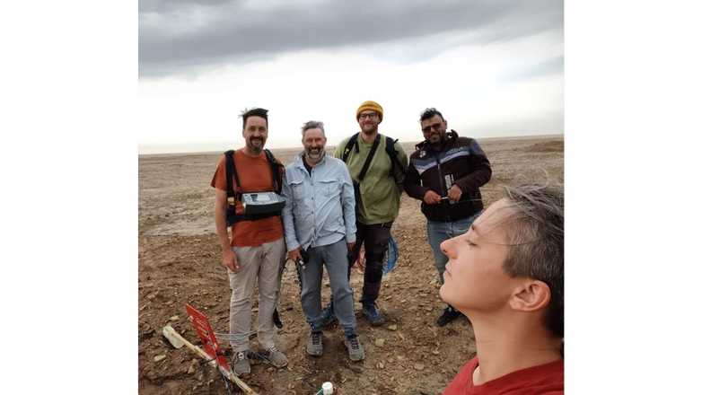
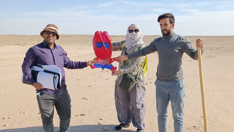
The team set up camp directly on Tell Dehaila, a rare opportunity that allowed them to stay close to the site and maximize research efficiency. Living in traditional reed houses—sturdy frames of bundled reeds topped with mats and plastic sheeting, built by nearby craftsmen. While vulnerable to scorpions, solifugae, snakes, and other predators this desert base fostered unity among archaeologists from Novgorod State University, Ludwig-Maximilians-Universität München, and Iraq’s State Board of Antiquities and Heritage (SBAH). SIGNAX executed an ambitious survey campaign across the 1934-hectare site, overcoming intense conditions to:
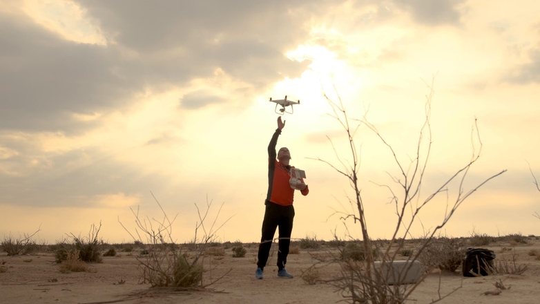
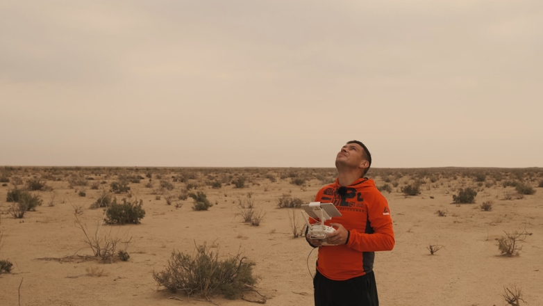
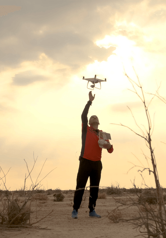
- Conduct extensive drone surveys, covering the 70m-altitude central tell and three 160m-altitude areas (Rescue Canal, Defensive Trench, and Irrigation), totaling over 400 km of flight paths with the surveying drone;
- Adapt to environmental challenges, including extreme heat, limited water, and a lack of natural shade. Despite these difficulties, they managed up to eight drone battery cycles per day and manually placed 117 ground markers across difficult, roadless terrain, all while navigating narrow weather windows.
Completed in just 14 days, this fieldwork generated a rich dataset, with the team’s on-site resilience ensuring every opportunity was seized despite the environment’s conditions.
Processing Data for Precision Insights
The international team’s collaborative spirit carried into data processing, conducted in the reed houses where a diesel generator powered critical equipment. Russian archaeologists organized data backups across drives to prevent loss, while Iraqi SBAH representatives verified findings for cultural accuracy. SIGNAX’s processing efforts delivered:
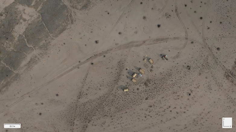
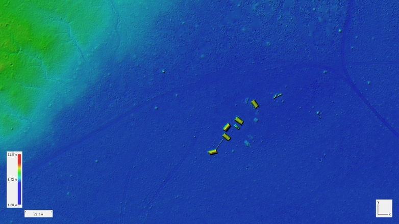
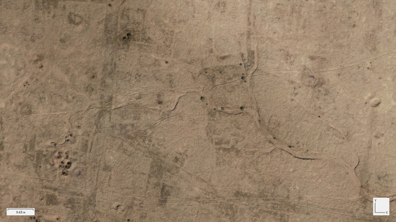
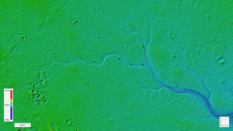
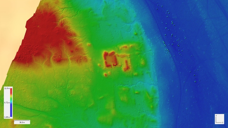
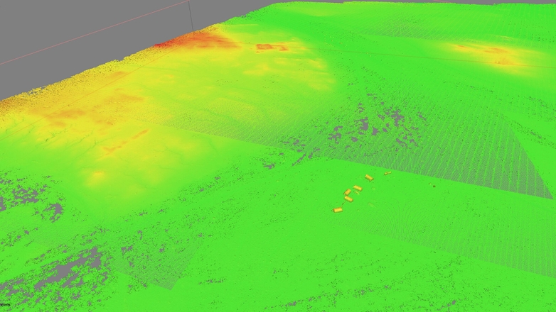
- High-resolution outputs, using Agisoft Metashape to produce orthophotoplans, dense point clouds, and digital elevation models (DEMs) with resolutions of 2 cm/pixel at 70m altitude and 4 cm/pixel at 160m, revealing subtle ancient features with clarity;
- Comprehensive coverage, integrating 117 ground markers and GNSS Survey kits with radiomodems, ensuring geodetic accuracy across the 1934-hectare site despite manual placement in rugged terrain.
These outputs provided a clear, precise view of Tell Dehaila’s ancient features, from canals to settlement traces, preserving the site’s history in a digital format resilient to its physical degradation.
Use-Cases of the Data
SIGNAX’s processed data opened a window into Tell Dehaila’s ancient world, offering practical applications that extended far beyond the fieldwork. Russian researchers interpreted features, German geophysicists correlated aerial data with subsurface scans, and Iraqi experts provided historical context, together maximizing the data’s impact. The detailed models revealed hidden features and supported diverse uses, including:
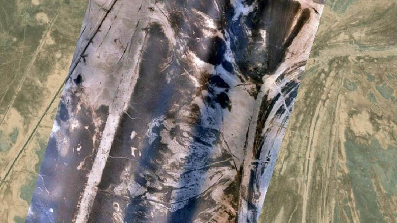
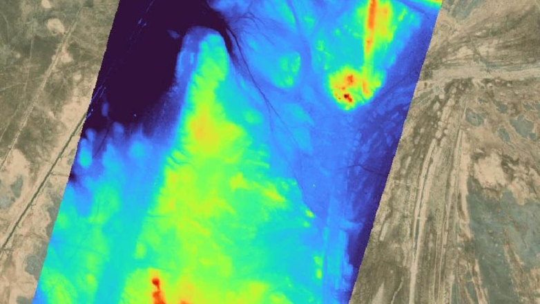
- Mapping ancient infrastructure, identifying the “Long Canal” linking Tell Dehaila to Tell Rejiba 17 km away and a “bracket” feature—possibly a defensive ditch—providing new evidence of the site’s infrastructure and boundaries;
- Guiding future excavations, providing precise maps to prioritize dig sites without disturbing looted areas, with DEMs highlighting elevation changes tied to buried structures;
- Supporting academic and public outreach, enabling 3D visualizations for publications, presentations, and a journalist’s YouTube and Telegram channels, sharing Tell Dehaila’s story with the world.
These use-cases demonstrated the expedition’s success, with SIGNAX’s data bridging the gap between raw fieldwork and actionable insights, enriching our understanding of Mesopotamian civilization.
Legacy of Innovation
The execution phase of the Tell Dehaila expedition, powered by SIGNAX’s contributions, showcased a triumph of resilience and technology. Living in reed houses amidst the desert, the team completed surveys under grueling conditions, while SIGNAX’s data processing turned those efforts into a lasting legacy. The resulting insights not only illuminated Tell Dehaila’s past but also set a precedent for future archaeological projects, proving that advanced geospatial solutions can thrive in the harshest environments to preserve history for generations to come.
